


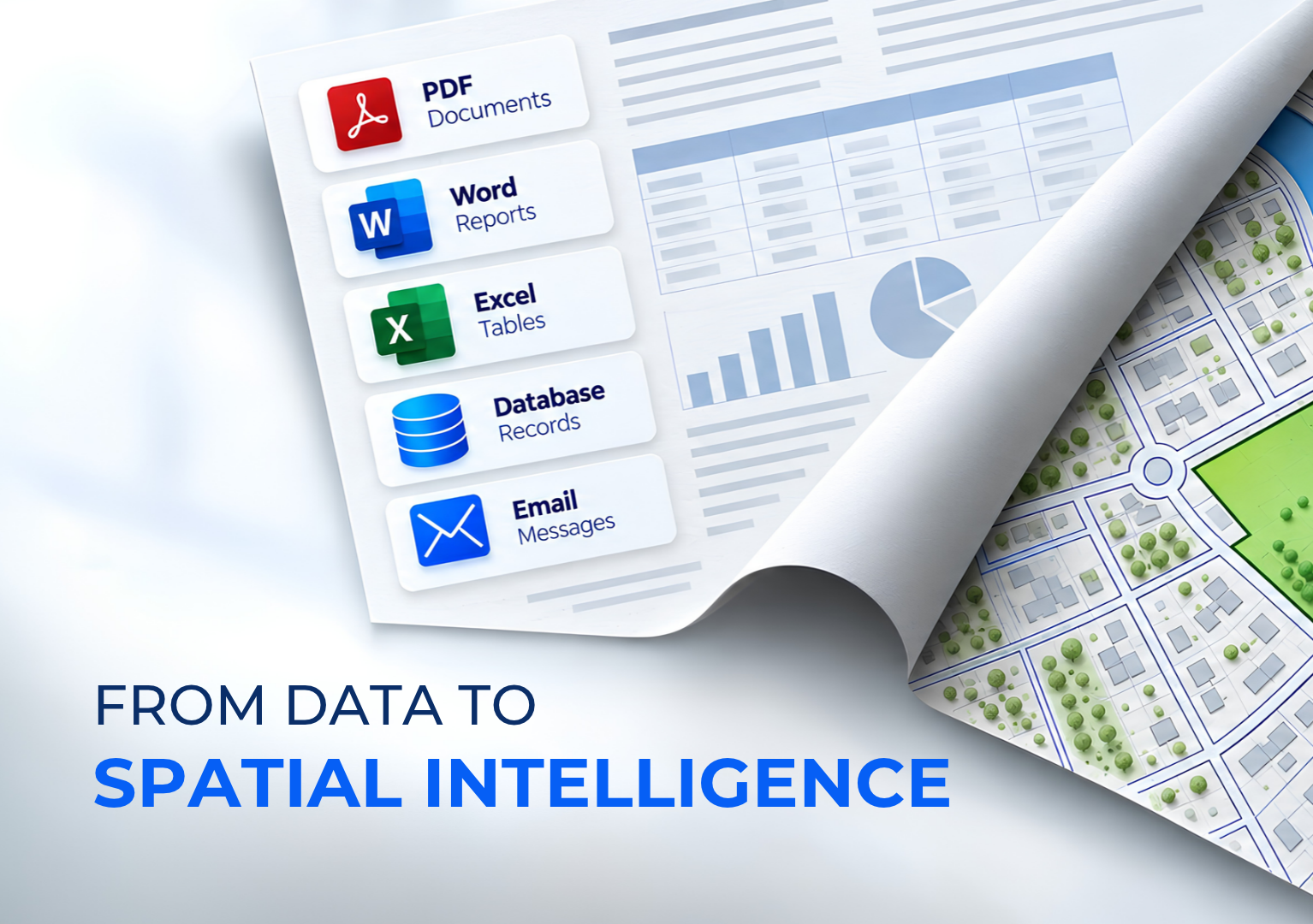
Organizations today generate and store enormous amounts of information across data lakes, document repositories, archives, and operational systems. Data discovery and DSPM solutions help organizations identify, classify, and protect this information.
However, understanding what data exists is only part of the challenge.
Information also has a spatial dimension.
A document, image, video, CAD file, or technical record may contain valuable information related to a specific asset, facility, region, or field operation. The location context hidden within this information is often difficult to discover and analyze.
GEODI Spatial Intelligence reveals the hidden spatial meaning within unstructured data by connecting information with its geographic context.
Traditional data intelligence helps organizations answer:
GEODI Spatial Intelligence adds another critical question:
By combining unstructured data understanding with spatial intelligence, GEODI enables organizations to discover relationships between information, location, and context.
Valuable location-related information is often hidden inside:
Unlike traditional GIS workflows that require information to be structured beforehand, GEODI helps identify spatial references directly from existing content.
Users can discover:
Explore CAD and GIS content together with related information through an integrated spatial view.
Understand relationships between data sources and their geographic context.
Connect archived content with locations and make historical information easier to discover, explore, and analyze.
Transform archives from passive storage into searchable spatial knowledge.
Automatically identify and extract spatial references from unstructured content.
Recognize location-related information such as:
Connect video content with geographic locations.
Explore videos through their spatial context and relate observations to specific places, assets, or events.
Support spatial workflows with practical tools for working with geographic information and spatial analysis.
Sensitive information is not only defined by what it contains — its location can also be critical.
GEODI Spatial Intelligence enables organizations to understand:
Examples:
Discover geographic patterns hidden within enterprise information.
Examples:
Spatial frequency analysis helps organizations identify trends and prioritize actions.
Transform information discovery results into visual intelligence.
Examples:
Instead of reviewing thousands of records individually, users can immediately identify areas requiring attention.
Connect enterprise information with physical assets.
Examples:
Users can understand:
Traditional data intelligence helps organizations understand their information.
GEODI Spatial Intelligence helps organizations understand where that information exists, how it is distributed, and why its location matters.
By transforming unstructured data into location-aware intelligence, GEODI enables organizations to discover new insights from the information they already own.



.png)


